Geography of Albania
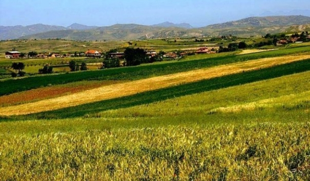
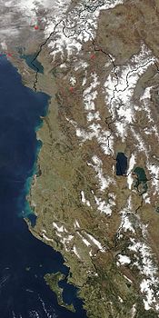
Albania has a total area of 28,748 square kilometres (11,100 square miles). It lies between latitudes 39°and 43° N, and mostly between longitudes 19° and 21° E (a small area lies east of 21°). Albania's coastline length is 476 km (296 mi):240 and extends along the Adriatic and Ionian Seas. The lowlands of the west face the Adriatic Sea.x ea commodo consequat.
|
|
|
|
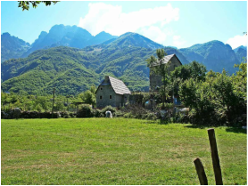
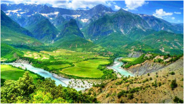
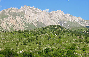
The 70% of the country that is mountainous is rugged and often inaccessible from the outside. The highest mountain is Korab situated in the district of Dibër, reaching up to 2,764 metres (9,068 ft). The climate on the coast is typically Mediterranean with mild, wet winters and warm, sunny, and rather dry summers.Inland conditions vary depending on elevation, but the higher areas above 1,500 m/5,000 ft are rather cold and frequently snowy in winter; here cold conditions with snow may linger into spring. Besides the capital city of Tirana, which has 420,000 inhabitants, the principal cities are Durrës, Korçë, Elbasan,Shkodër, Gjirokastër, Vlorë and Kukës. In Albanian grammar, a word can have indefinite and definite forms, and this also applies to city names: both Tiranë and Tirana, Shkodër and Shkodra are used.
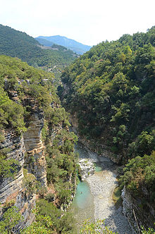
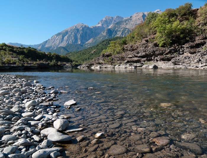
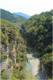
Osum Canyon
